![]()
Dartmoor - Self Catering Cottages, B&B, Hotels, Activities and Places of Interest
![]()
Dartmoor self catering cottages,B&B bed and breakfast & hotels. Also places of interest, attractions and activities.
If you are on holiday in Devon you really should try and spend at least one day on Dartmoor. Better still why not stay in one of the lovely holiday cottages or have bed and breakfast in a Dartmoor farmhouse or hotel.
Covering an area of 368 sq miles (954 sq km), Dartmoor contains the largest and wildest area of open country in the south of England. By virtue of its outstanding natural beauty it is one of the National Parks of England and Wales. Unlike many National Parks in other countries, for example the USA, the National Parks in England and Wales are not owned by the state. The term National means that they have been identified as being of importance to our national heritage and as such are worthy of special protection and attention.
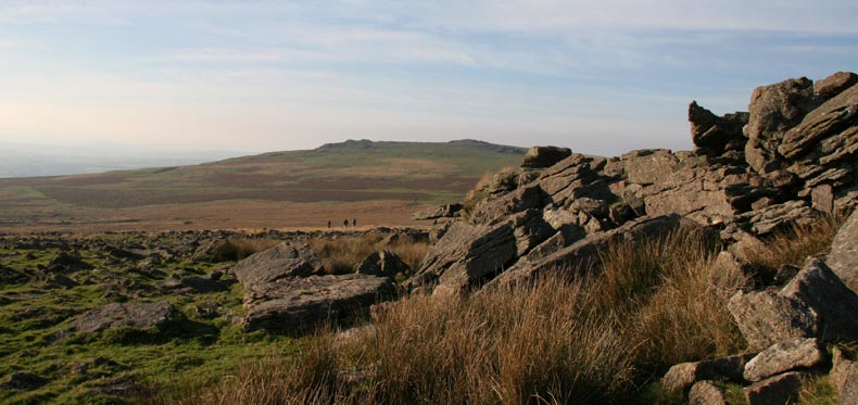
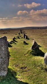
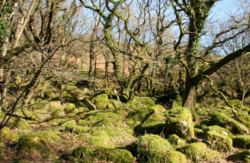
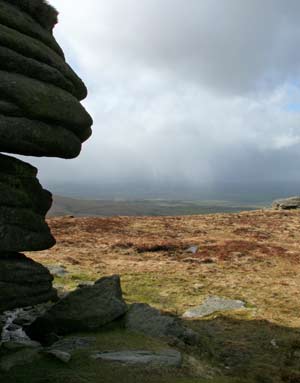
A large part of Dartmoor (65%) is made up of granite, an igneous rock which was intruded some 295 million years ago. It is the largest of the 6 granite regions which form the spine of the Westcountry. Once known as Dartmoor forest, for it was covered by English Oak woodland it was reserved as a royal hunting ground. With thousands of years of farming, house and shipbuilding the woodland is now much depleted, but a few small areas still have ancient woodland cover.Dartmoor’s landscape is of great archaeological importance, with over 10,000 entries on the County Sites and Monuments Register. There are over 1,000 Scheduled Ancient Monuments and this figure rises each year. Prehistoric evidence is everywhere to be seen from standing stones, stone rows, barrows and kistvaens. Later farming, quarrying and tin mining dramatically changed the landscape, over printing an archaeological heritage to the area. There are also over 2,500 buildings which are Listed because of their architectural or historic interest.
The park centres on the granite, which rises to a height of 619m
(2,039ft) above sea level, but also includes the beautiful surrounding
Devon countryside. To
the south and north lie the agricultural farming lands, known
as the “Hams”. These rich fertile lands lie on the
surrounding country rock, older marine sediments and volcanic
rocks of Devonian and Carboniferous age, a contrast with the
upland granite areas.
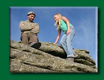
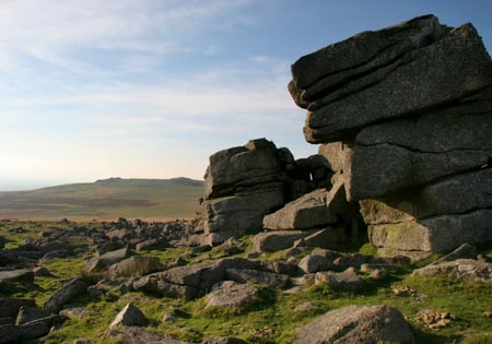 Tors - There are over 160 tors on Dartmoor.
The principal
ones are:
High Willhays 621m (2,039ft)
SX 580 892
Yes Tor 619m (2,030ft) SX 581 901
Great Links Tor 586m (1,924ft) SX 551 867
Fur Tor 572m (1,876ft) SX 588 830
Great Mis Tor 539m (1,768ft) SX 562 770
Great Staple Tor 455m (1,493ft) SX 542 760
Haytor 454m (1,490ft) SX 757 770
Hound Tor 448m (1,469ft) SX 743 790
Sharpitor 402m (1,320ft) SX 559 703
Sheeps Tor 320m (1,050ft) SX 565 683
Vixen Tor 320m (1,050ft) SX 542 742
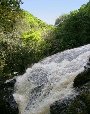 |
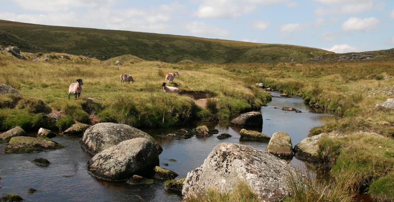
Many of Devon’s major rivers rise on the granite uplands. The Dart, Teign, Taw, Plym, Tavy and Bovey all rise in the bogs high on the moor. Major Land Use |
National Trust Areas |
 |
Reserves & Protected Areas |
 |
 |
Dartmoor National Park Authority
|
The ancient stone crosses of Dartmoor represent one of the moorland landscape's most enduring features. For centuries these powerful monoliths have stood as enigmatic sentinels upon the moor, their origins often lost in time. Many were set up in the days when the Church held great power, and the influence of the monasteries spread throughout the land. Some mark ancient trackways - but for many there is no explanation of their siting -or any certainty of their date. Such is their mystery.
|
Activities, Self Catering, Bed and Breakfast, Hotels, Campsites & Parks, Places to Eat, Attractions, More Places of Interest
Listings on the Devon Holiday Directory
![]()